
Tour Mont Gargan

Tour Mont Gargan

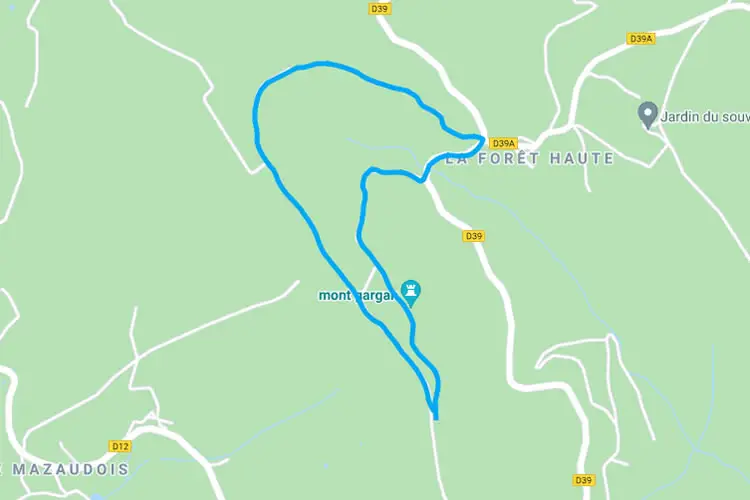
  • Hike length 3.5 kilometers
  • Starting point parking Mont Gargan
  • 360-degree viewpoint
  • Route is 29 km from the campsite
  • GPX route
    download

About the route

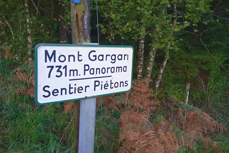
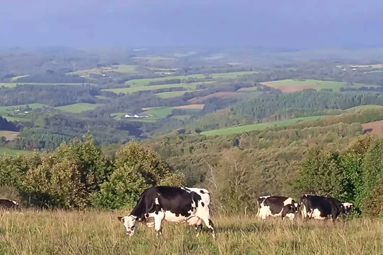
This 360-degree viewpoint over the Massif Central and the surrounding area is located at an altitude of 730 meters. In clear weather you can see for tens of kilometers. The video below gives a good impression of the place.

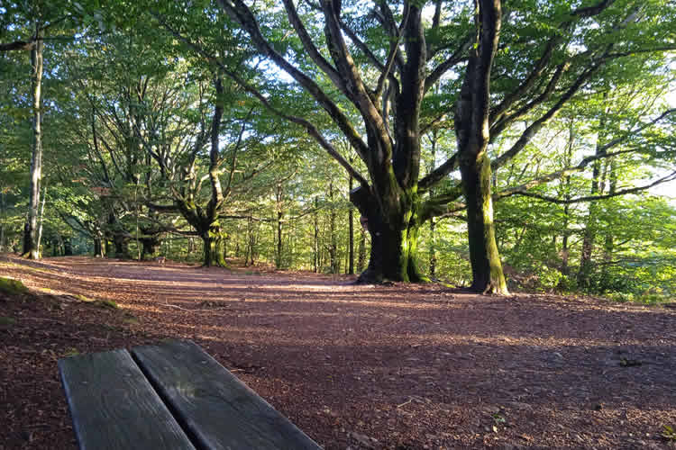
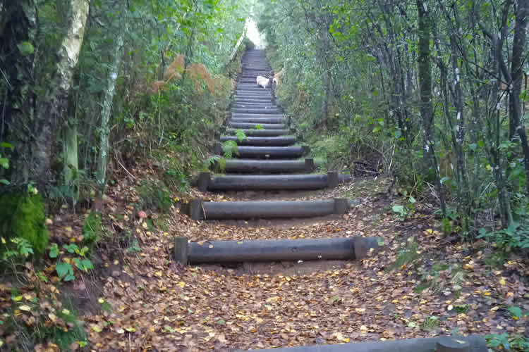
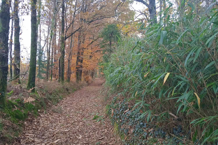
The route first takes you around the top on the left, then up, and then down again via an impressive avenue with ancient trees.

Hike routes

Circuit prieuré de l’Artige

Circuit prieuré de l’Artige

8 km walking route that starts just before St Leonard de Noblat. The route passes the old mill of Artige.
Boucle du mont Larron 16

Boucle du mont Larron 16

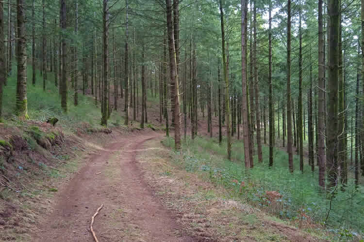
16 km hiking trail that starts at the small church in St Julien le Petit. There is also a 10km version of this hike.

Boucle du mont Larron

Boucle du mont Larron

10 km hiking trail that starts at the quarry of St Julien le Petit.
Add a Comment

Your email address will not be published. Required fields are marked *