


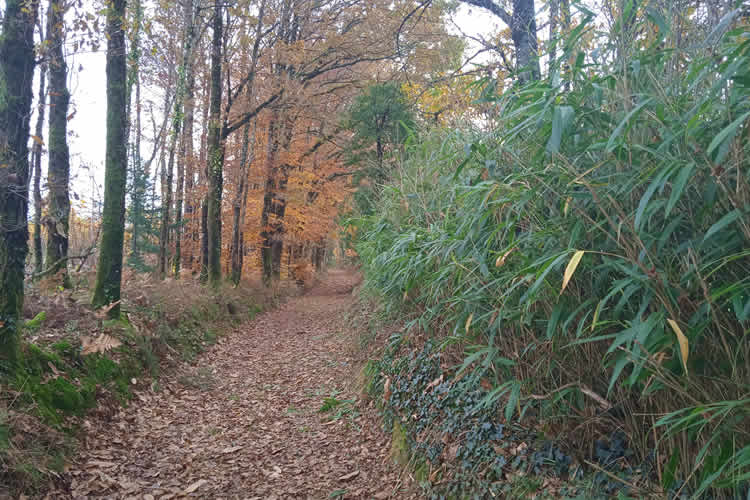
Circuit prieuré de l’Artige
8 km walking route that starts just before St Leonard de Noblat. The route passes the old mill of Artige.
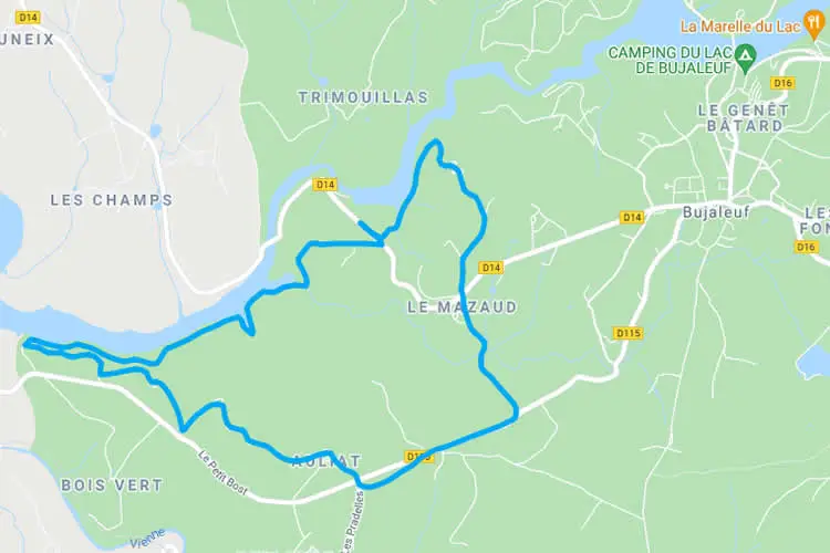
Boucle du mont Larron 16
16 km hiking trail that starts at the small church in St Julien le Petit. There is also a 10km version of this hike.

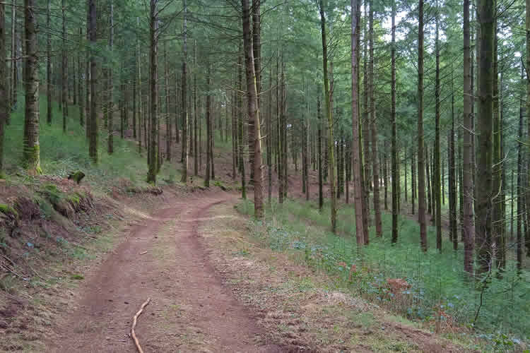
Boucle du mont Larron
10 km hiking trail that starts at the quarry of St Julien le Petit.
Add a Comment